Bhu Naksha Telangana – India’s state governments are attempting to completely digitize all of its land records. Similar to this, the Telangana State government has made an effort to make the land maps accessible online through Dharani Portal. By logging into the Dharani, Integrated Land Records Management System, the official website of the Telangana Government, landowners in that state are able to access Bhunaksha or land maps online. Read below to check the detailed information related to Telangana Bhu Naksha.
Bhu Naksha Telangana 2024
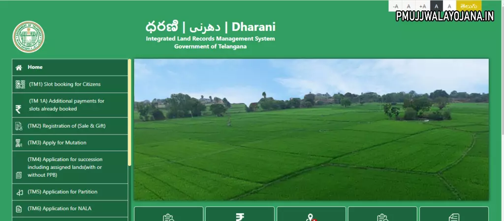
On the Dharani site, the Telangana government provides access to the land records for the public. The integrated management system for land records serves as the conduit for this. The Telangana government also created a system for land records information that makes land maps accessible under each municipality in the State. Using the Chief Commissioner of Land Administration website i.e., https://dharani.telangana.gov.in/, you can also get the cadastral maps of the villages in Telangana. A citizen can also get a PDF map of a land parcel from the Dharani portal.
Telangana Bhu Naksha Details in Highlights
| Name | Telangana Bhu Naksha |
| Initiaited by | Telangana State Government |
| State | Telangana |
| Beneficiaries | Landowners of Telangana State |
| Objective | To provide access to the land records online |
| Official Website | https://dharani.telangana.gov.in/ |
Bhu Naksha Telangana Objective
The cadastral maps for the state’s land are now easily accessible to property owners in Telangana. On the official website Dharani, they can examine and download cadastral maps, saving them the time and effort of going to the government office to receive the map. For users to access the cadastral map of a plot in a region, the portal needs to be fed with information such as the district and village. When buying or selling a piece of land, landowners must have a land map, which is where Bhunaksha can help.
Telangana Crop Loan Waiver Scheme
Features & Benefits of Bhu Naksha Telangana
Some of the key features and benefits of the Telangana Bhu Naksha are as follows:
- The Telangana State Government has made efforts to bring every part of the state online as part of a recently realised programme.
- The Telangana government made the decision to address the situation in June 2017 and upload the state’s whole map online.
- It will be very helpful to track the locations of each and every village in Telangana digitally and on a map thanks to several features of navigation and mapping technology that the Indian Space Research Organisation is currently investigating.
- It happened when the entire nation jumped headfirst into the digitization bandwagon.
- Obtaining information on the particular place you are searching for is simpler when this thing is hidden.
- The Chief Commissioner of Land Administration (CCLA), in coordination with the National Informatics Centre (NIC), published the whole map of Telangana. To get the entire thing uploaded would have taken a week or more.
- The whole information on a certain landowner is contained in ROR 1B. Landowners can connect their Aadhaar cards to land records and verify the status of their properties at any time.
- The responsibility for correcting all of the wrongdoings in the real estate sector now rests with the people and the government.
- Now it’s simple to locate and authenticate the village marks without too much trouble.
- The digitalization component should dramatically lower corruption and fraudulent activity.
List of Telangana Districts Available for Bhu Naksha
The List of Telangana Districts Available for Telangana Bhu Naksha is given in the table below:
| Adilabad | Narayanpet |
| Bhadradri Kothagudem | Nalgonda |
| Hyderabad | Nagarkurnool |
| Jayashankar Bhupalpally | Nizamabad |
| Jagtial | Nirmal |
| Jangaon | Peddapalli |
| Jogulamba Gadwal | Rangareddy |
| Khammam | Rajanna Sircilla |
| Kamareddy | Suryapet |
| Kumuram Bheem | Sangareddy |
| Karimnagar | Siddipet |
| Mancherial | Vikarabad |
| Mahabubabad | Warangal (Urban) |
| Mahabubnagar | Wanaparthy |
| Mulugu | Warangal (Rural) |
| Medak | Yadadri Bhuvanagiri |
| Medchal |
Steps to Check Bhu Naksha Telangana Online on Dharani Portal
To check Telangana Bhu Naksha on Dharani portal, the user needs to follow the below given steps:
- First of all, go to the official website of the Telangana Dharani portal, i.e., https://dharani.telangana.gov.in/
- The homepage of the website will open on the screen
- Click on the Cadastral Maps option.
- A new page will open on the screen
- Now, choose details such as District, Division, Mandal and the Village
- Once you select all the desired information, the respective map will be displayed on your screen
- You can zoom in on the screen to see the plot detail in greater depth if you want to see the specifics or size of a particular place or plot. The Indian Space Research Organisation (ISRO)’s BHUVAN webpage, which offers the current imagery, was created.
- You must select the Bhuvan_LULC (50K) 2011-12 option from the left if you wish to view the Land Use and Land Cover (LULC) of the relevant area.
Steps to Download PDF of Telangana Bhu Naksha on Dharani portal
To download Telangana Bhu Naksha on Dharani portal, the user needs to follow the below given steps:
- First of all, go to the official website of the Telangana Dharani portal, i.e., https://dharani.telangana.gov.in/
- The homepage of the website will open on the screen
- Click on the Cadastral Maps option.
- A new page will open on the screen
- Now, choose details such as District, Division, Mandal and the Village
- Once you select all the desired information, the respective map will be displayed on your screen
- Now, click on the Tippon option
- A new page with a PDF map of the land parcel will open on your screen
- Click on the download button to download the PDF
Steps to Book a Slot for the Citizens on Dharani Telangana portal
To Book a Slot for the Citizens on Dharani Telangana portal, the user needs to follow the below given steps:
- First of all, go to the official website of the Telangana Dharani portal, i.e., https://dharani.telangana.gov.in/
- The homepage of the website will open on the screen
- Click on the Slot booking for Citizens tab
- A new page will open on the screen
- Now, enter your registered Mobile number, Password and the Captcha Code
- After that, click on the Get OTP button
- An OTP will be sent to your registered mobile number
- Now, enter the received OTP for verification
- After successful verification the slot will be booked
Steps to Download List of Prohibited Land Parcels
To download the List of Prohibited Land Parcels, the user needs to follow the below given steps:
- First of all, go to the official website of the Telangana Dharani portal, i.e., https://dharani.telangana.gov.in/
- The homepage of the website will open on the screen
- Click on the Prohibited Lands tab
- A new page will open on the screen
- Now, select the District, Mandal, and the Village
- After that, enter the captcha code and click on the Fetch button
- Finally, the list of prohibited land Parcels will open on your screen
- The list will have details like Village, Name, Survey Number, Extent, nature of Land, and Classification of land.